Mines Services

Leading Innovation in Pakistan’s Mining Sector

Remote Sensing

Remote Sensing plays a vital role in modern mineral exploration by providing accurate and large scale geological data. Through hyperspectral analysis, it captures detailed spectral information to identify mineral compositions with high precision. Multispectral analysis complements this by offering broader imagery useful for detecting surface alterations and geological features.

Both techniques enable efficient and cost effective mineral mapping, helping geologists locate potential resource rich zones without extensive ground surveys. These advanced technologies significantly enhance decision making and reduce exploration risks.

Unlock hidden mineral potential with advanced remote sensing solutions
Terrain Modeling , Terrain

Terrain Modeling

Terrain modeling is the process of creating digital representations of the Earth’s surface. Photogrammetry uses aerial images to generate accurate 3D models. Land Use and Land Cover (LULC) helps identify how land is used and how it changes over time. 3D Terrain Models provide detailed elevation data useful for planning, construction, and environmental analysis.

Geological Mapping

Geological mapping records surface rock types and structures to understand the area’s geology. Surface geological mapping outlines rock formations and fault lines. Alteration mapping identifies changes in rock caused by hydrothermal fluids, often linked to mineralization. Mineral mapping helps locate and classify mineral rich zones for exploration targeting.

geological , mapping
Aerial , Geophysics

Aerial Geophysics

Aerial geophysics involves collecting geophysical data from the air to study the Earth’s subsurface. Aerial Magnetic Surveys measure variations in the Earth’s magnetic field to detect mineral deposits and geological structures.

Aerial Radiometric Surveys detect natural radiation from rocks and soils, helping in mapping rock types and locating uranium or thorium sources. These methods are efficient for covering large areas quickly and are widely used in mineral exploration and environmental studies.

Land Geophysics

Land geophysics involves ground-based techniques to study subsurface geological structures. Electromagnetic Surveys use electromagnetic fields to detect variations in soil and rock conductivity, useful for mapping groundwater and mineral deposits.

Induced Polarization (IP) Surveys measure the delayed response of underground materials to electrical currents, helping identify ore bodies and sulfide minerals. Magnetotelluric Surveys (UMT, MT, AMT) use natural electromagnetic fields to probe deep into the Earth, ideal for geothermal, oil, and mineral exploration.

Land , Geophysics
Drill Plan , Geological

Geological Modeling & Drill Plan optimization

Geological modeling helps in creating accurate 3D representations of subsurface geology, essential for resource estimation. Ore Body Visualization allows geologists to clearly understand the shape, size, and orientation of mineral deposits.

Drill Optimization Plans are designed to reduce costs and maximize data recovery by placing drill holes strategically. Data Integration combines geological, geophysical, and geochemical data to improve model accuracy and support better exploration decisions.

Advanced Core Drilling

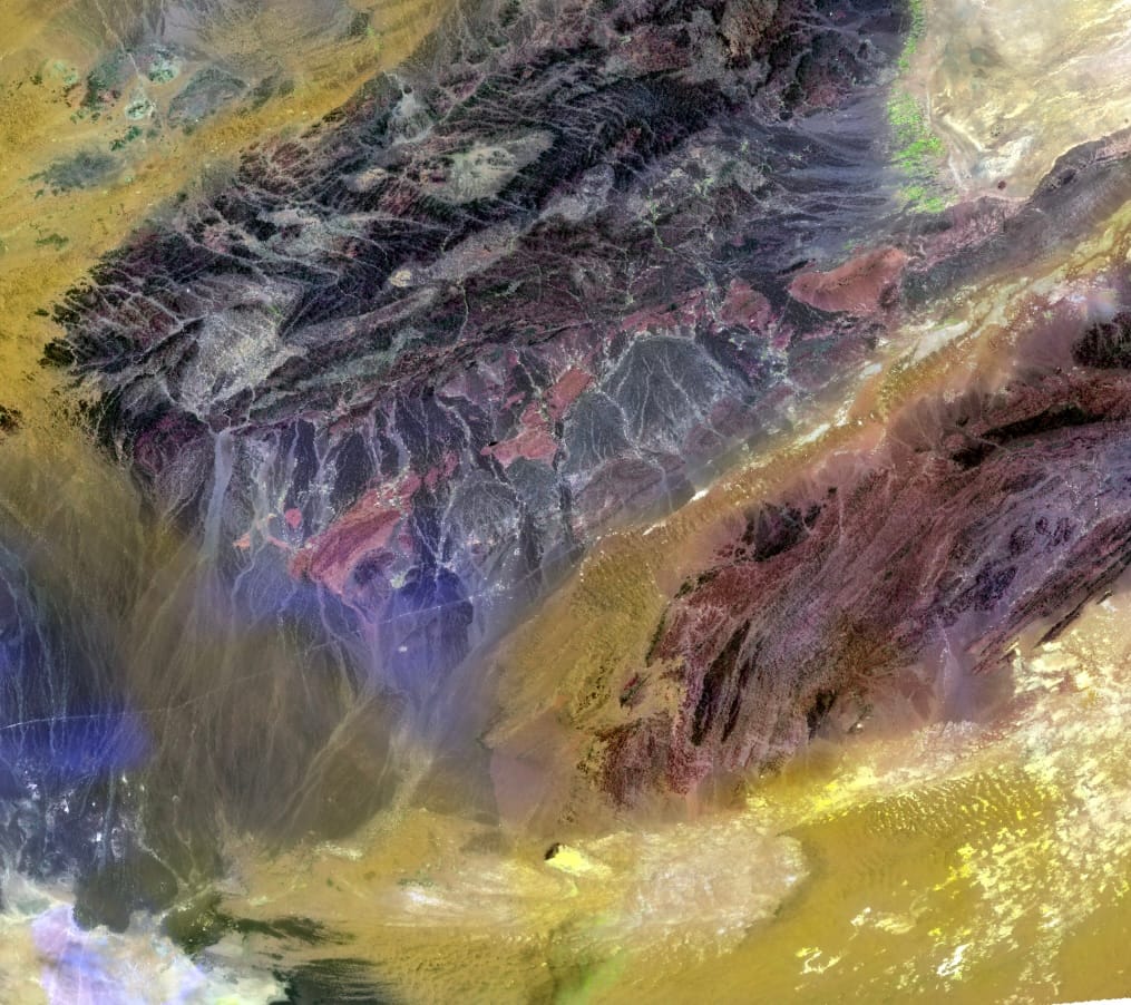
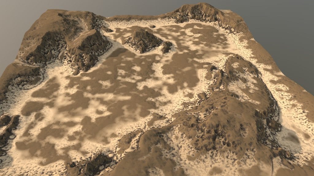
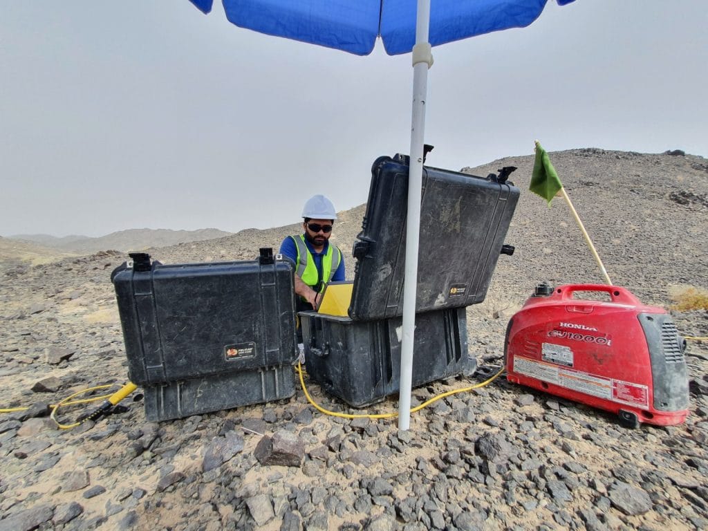
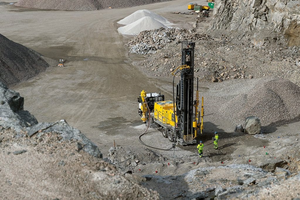
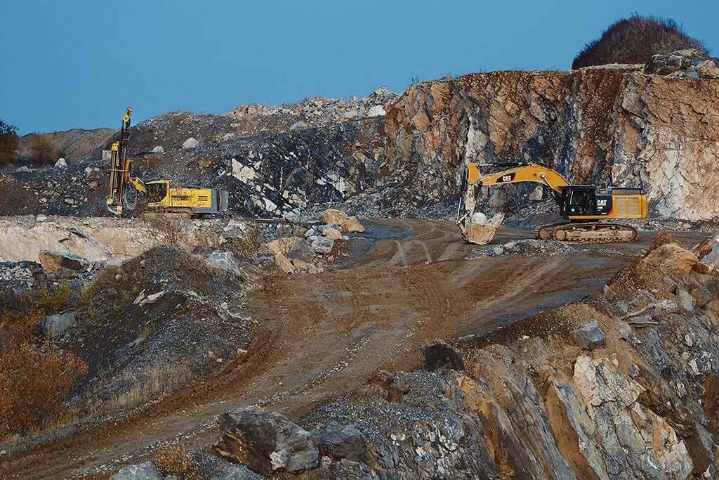
Advanced core drilling uses modern techniques and equipment to extract rock samples with greater accuracy and depth. Enhanced technologies improve drilling speed and safety, even in challenging conditions. Improved sample quality and efficiency ensure better core recovery for geological analysis. Geotechnical drilling gathers data on rock strength, stability, and structure, which is critical for mine design and safety.
Advanced Core Drilling
Core Logging & Analysis

Core Logging & Analysis

Core logging involves the detailed recording of rock cores to understand geological features. Petrographic analysis studies the mineral composition and texture of rocks under a microscope, providing insights into formation processes. Sampling QA/QC (Quality Assurance/Quality Control) ensures that samples are accurate, reliable, and representative of the deposit, maintaining data integrity for resource estimation.

Geochemical Testing

Geochemical testing identifies the chemical composition of rock and soil samples. Standard lab procedures ensure consistency and accuracy in results. Elemental testing helps detect trace and major elements critical in exploration. Mineral identification reveals the presence of valuable minerals and alteration zones, guiding further exploration and drilling efforts.
Geochemical , Testing
Resource Estimation Mine plan Design

Resource Estimation Mine plan Design

This process involves calculating the quantity and quality of mineral resources. Resource reporting follows international standards (like JORC or NI 43-101) to ensure transparency and reliability. Mining support and design transforms geological data into practical plans for extraction, optimizing resource recovery while minimizing environmental and financial risks.
Mines , organogram

Talk to our team